
Intense thunderstorms – amber warning issued
After a wet and cool start to June, this week has seen rising temperatures and building humidity across much of the UK – courtesy of some very warm air drifting up from Spain and Portugal.
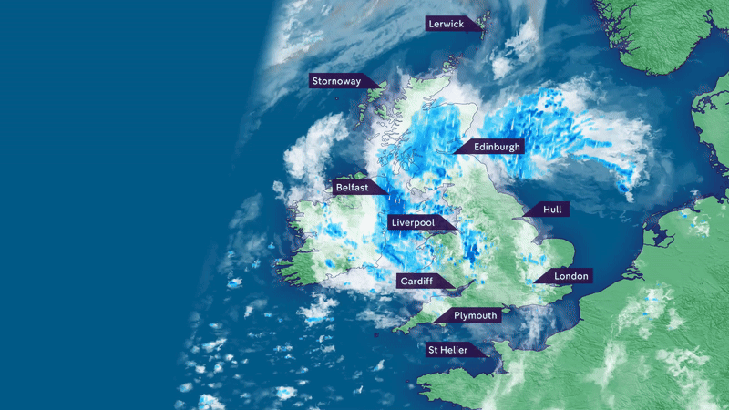
However, it is set to be short-lived, with rain and intense thunderstorms set to sweep up across the UK during Friday night into Saturday.
Thunderstorm warnings
The Met Office has issued several thunderstorm warnings – both yellow and amber – with the heavy downpours bringing a risk of disruption.
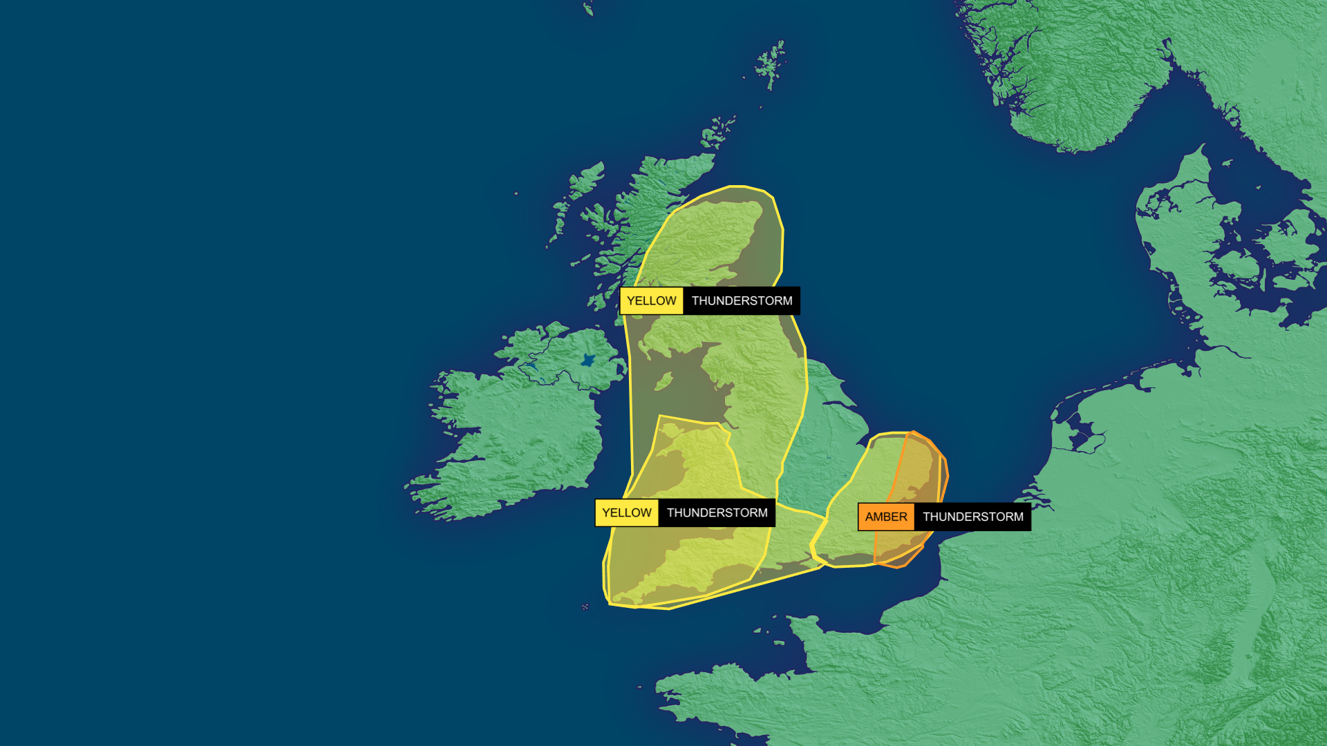
The amber warning covers East Anglia and southeast England, as this is where thunderstorms are most likely to be intense. As they drift northwards overnight, there could be frequent lightning, hail, very gusty winds, and as much as 30-50mm of rain falling in just a few hours.
The yellow warnings cover a large swathe of England, Wales and Scotland, where there’ll be a longer spell of heavier rain, with some thunderstorms mixed in – again giving the potential for hail, gusty winds and a lot of rain in just a few hours.
Places in the warning areas are at risk of seeing some localised flash flooding, travel disruption and power cuts, should any infrastructure be hit by lightning.
What’s causing the thunderstorms?
Earlier this week, some very warm and humid air arrived from Iberia, containing a lot of energy – something known in the meteorological world as CAPE (convective available potential energy).
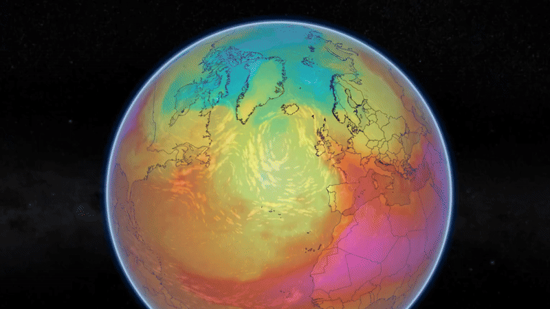
This is basically fuel for the atmosphere which, if triggered and released, can provide very lively weather. So, what’s the trigger?
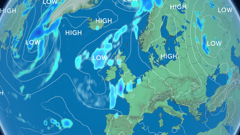
In this instance, the trigger is an area of low pressure that is drifting in from the west, destabilising the atmosphere, causing the air to rise and form towering cumulonimbus clouds that generate thunderstorms.
How long will they last?
After spreading northwards across many areas during Friday night, the heavy rain and thunderstorms will become confined to northern and western areas during Saturday daytime.
Towards southern and eastern parts of England, once any showers clear in the morning, much of the day should be dry with some spells of sunshine.
Whilst the warmth and humidity are likely to cling on across eastern parts of England for one more day, elsewhere it will already start to turn cooler and fresher.
Sunday, relatively, will be a quieter day, with a few showers in the south and east of the UK and a little cloud and drizzle in the north and west.
How wet has June been so far?
Following a very dry spring, the rain falling so far during June has been much needed, with northwest England and Yorkshire recently declared by the Environment Agency as being in drought.
Up to 12 June, many western areas have already had 60-90% of their average June rainfall, although eastern areas not so much, at around 15-45%.
High pressure returns for a time next week, so after the forthcoming downpours, there may not be any rain for a little while.